 |
 |
 |
 |
 |
 |
 |
 |
 |
 |
 |
 |
 |
|
Home About Images Workshops Storytelling
|
|
|
 |
|
|
|
T H O M H A L L S
|
|
|
|
 |
|
|
|
Rio de los Santos Reyes
|
|
|
|
  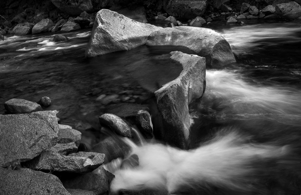 Through the Kings Canyon National Park, the Kings provides miles a white water and a scenic drive. Through the Kings Canyon National Park, the Kings provides miles a white water and a scenic drive.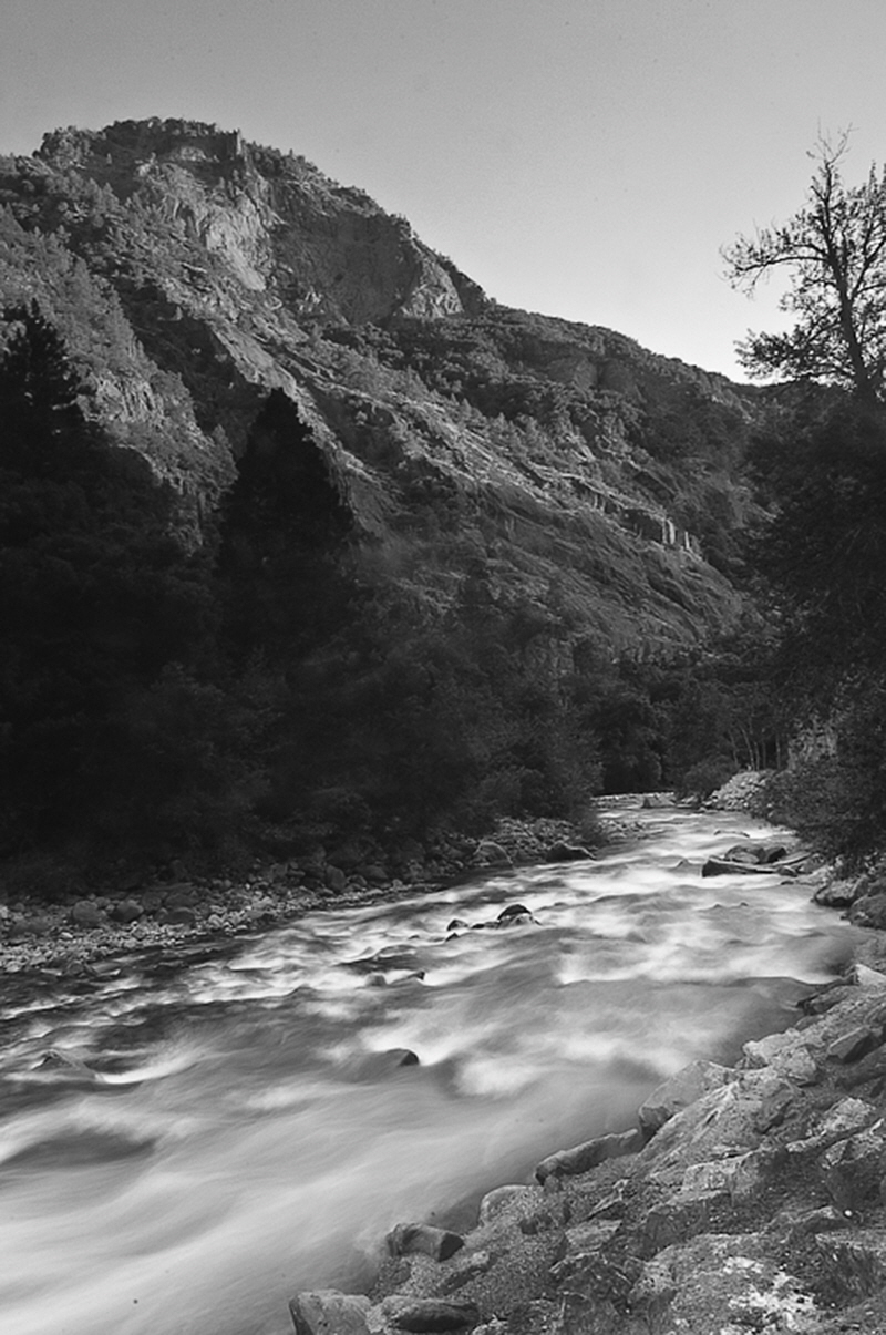 As the sun sets, the Kings continues it's flow to the valley below. As the sun sets, the Kings continues it's flow to the valley below.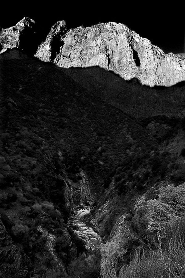 The converging of the North and South fork of the Kings River winds its way through the canyons of Kings Canyon National Park to the lakes below. The converging of the North and South fork of the Kings River winds its way through the canyons of Kings Canyon National Park to the lakes below.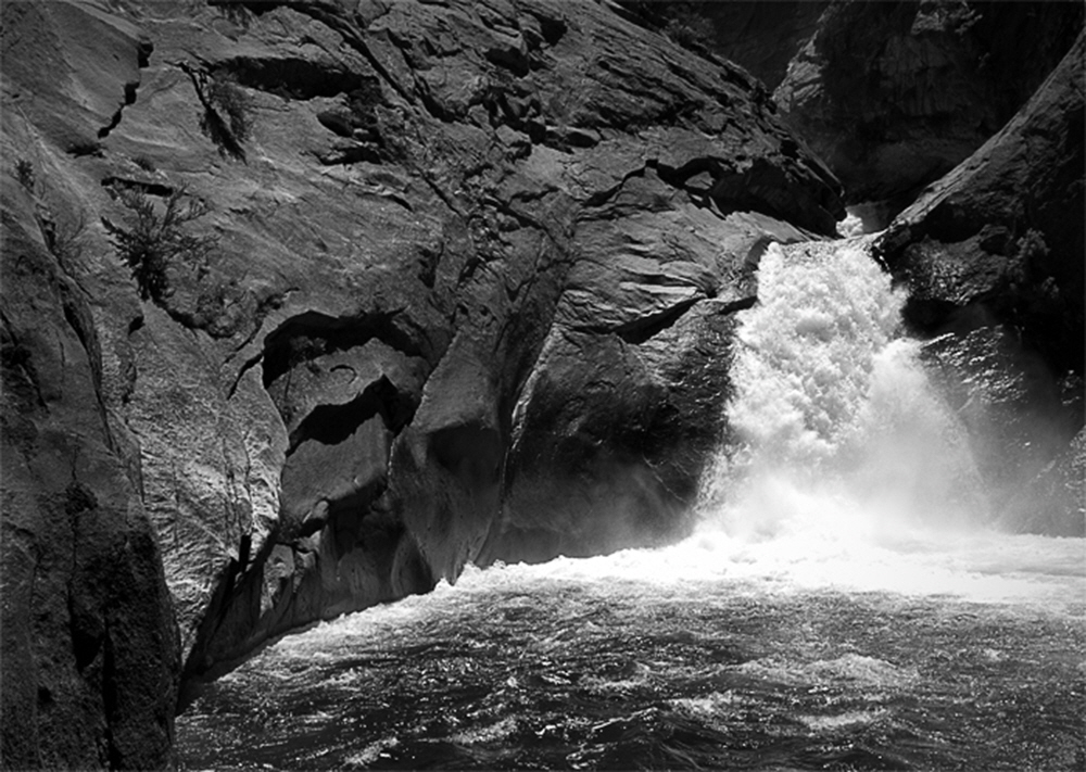 Roaring falls like this one power the Kings, as tributaries flow in the white water rapidly moving towards the Valley Roaring falls like this one power the Kings, as tributaries flow in the white water rapidly moving towards the Valley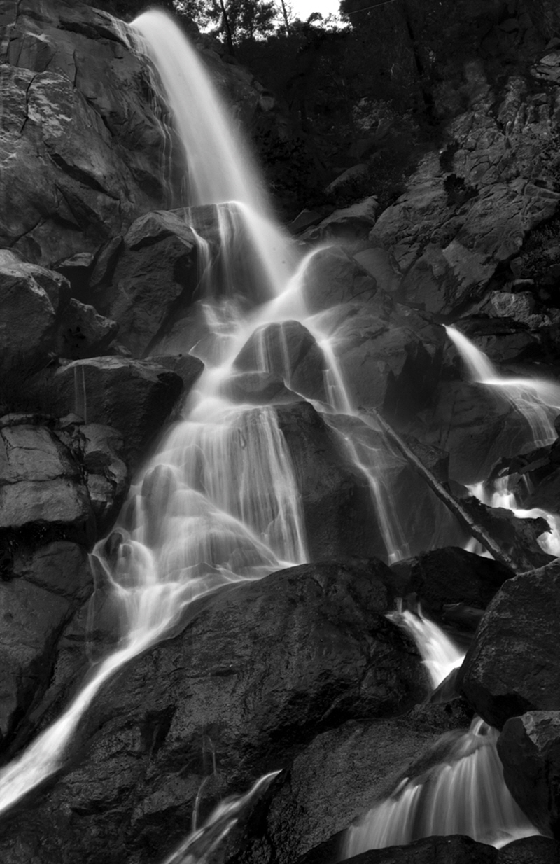 In a wet year, many delictate tributaries like Angel Falls also feed into the Kings. In a wet year, many delictate tributaries like Angel Falls also feed into the Kings.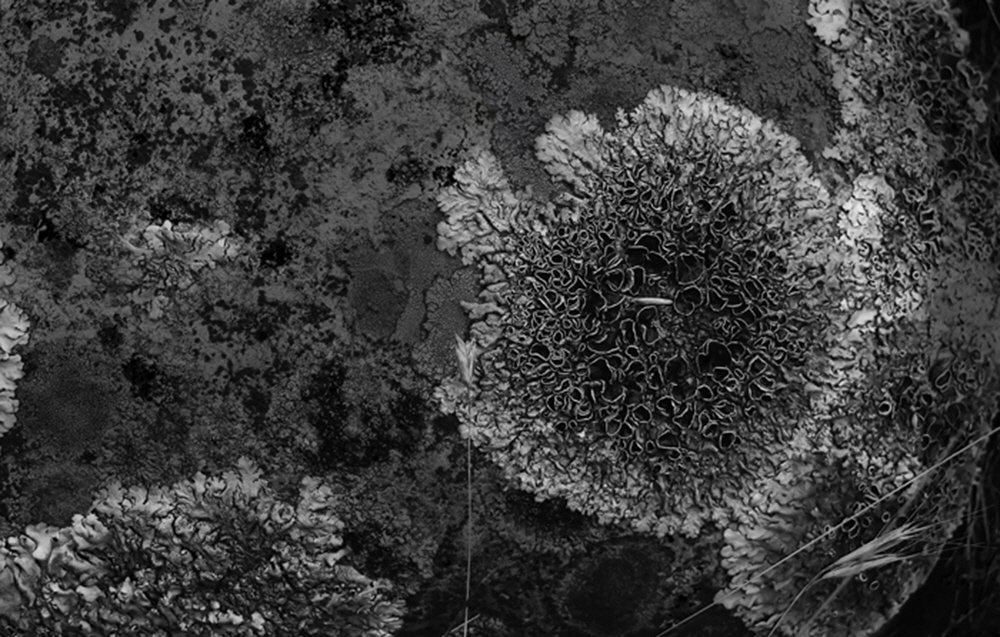 The drier areas along the river also reveal their beauty such as lichens forming creating intricate designs. The drier areas along the river also reveal their beauty such as lichens forming creating intricate designs.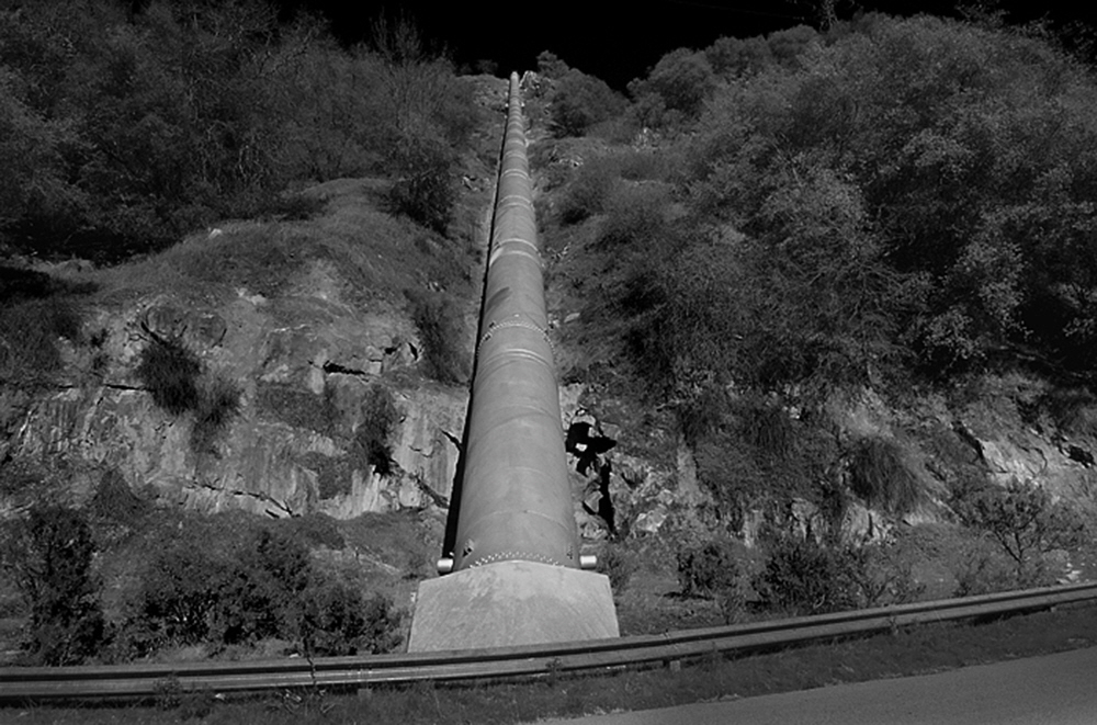 Near Balch Camp, a portion of the Kings is funneled into a pinstock providinng pressure to power hydro electric plants for P,G & E. Near Balch Camp, a portion of the Kings is funneled into a pinstock providinng pressure to power hydro electric plants for P,G & E.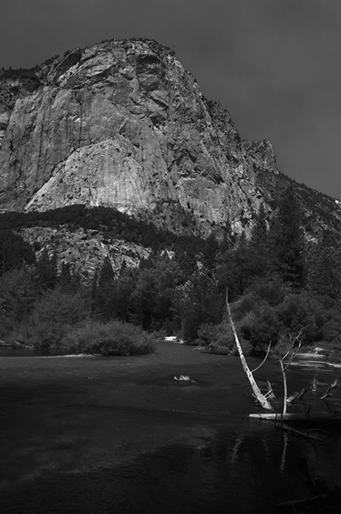 Near the roads end in Kings Canyon National Park, the Kings quickly moves past towering granite clifs. Near the roads end in Kings Canyon National Park, the Kings quickly moves past towering granite clifs.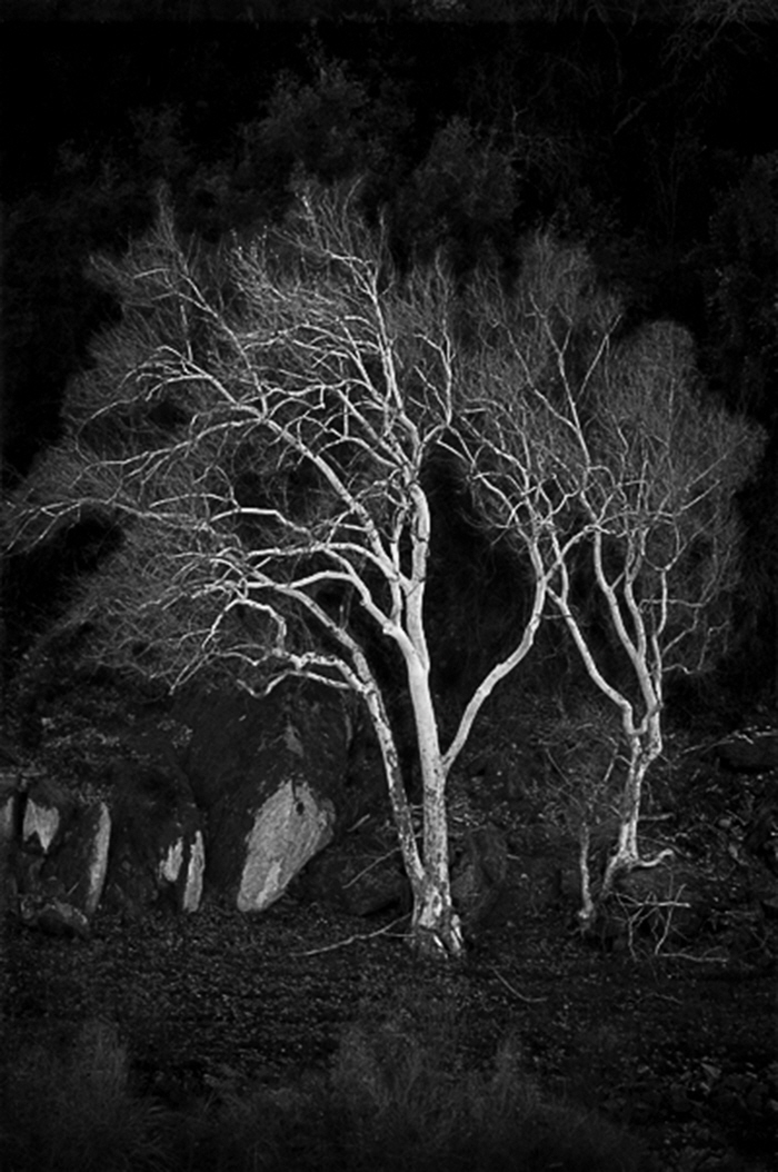 Sturdy rooted white barked sycamore trees line the Kings from the mountainns to the flat lands. Sturdy rooted white barked sycamore trees line the Kings from the mountainns to the flat lands. 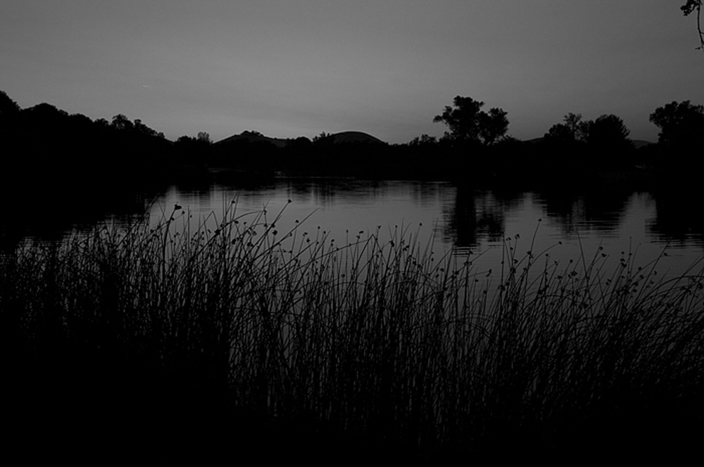 Formed from deep mining in the building of Pine Flat Dam, this former quarry is now a popular recreation spot. Formed from deep mining in the building of Pine Flat Dam, this former quarry is now a popular recreation spot.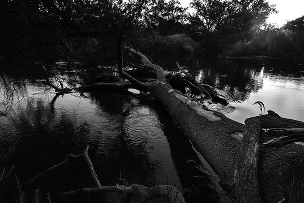 Each year the life cycle continues, 100 year old trees fall, and new seedlings emerge. Each year the life cycle continues, 100 year old trees fall, and new seedlings emerge.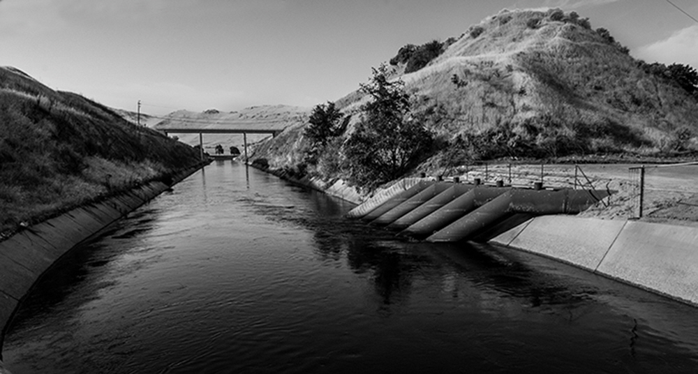 Hugh tubes, abandoned today, which were used to pump water from one system, under the Kings River and then south running Friant Kern Canal. Hugh tubes, abandoned today, which were used to pump water from one system, under the Kings River and then south running Friant Kern Canal.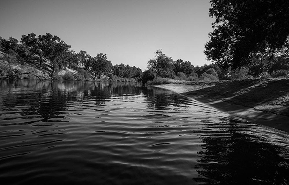 All along the privately held lands of the Kings are many small beaches with calm waters. All along the privately held lands of the Kings are many small beaches with calm waters.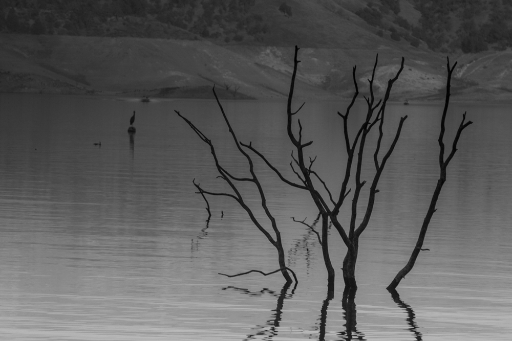 During years of drought, Pine Flat Resivour is practically draining revealing the relics of the past. During years of drought, Pine Flat Resivour is practically draining revealing the relics of the past.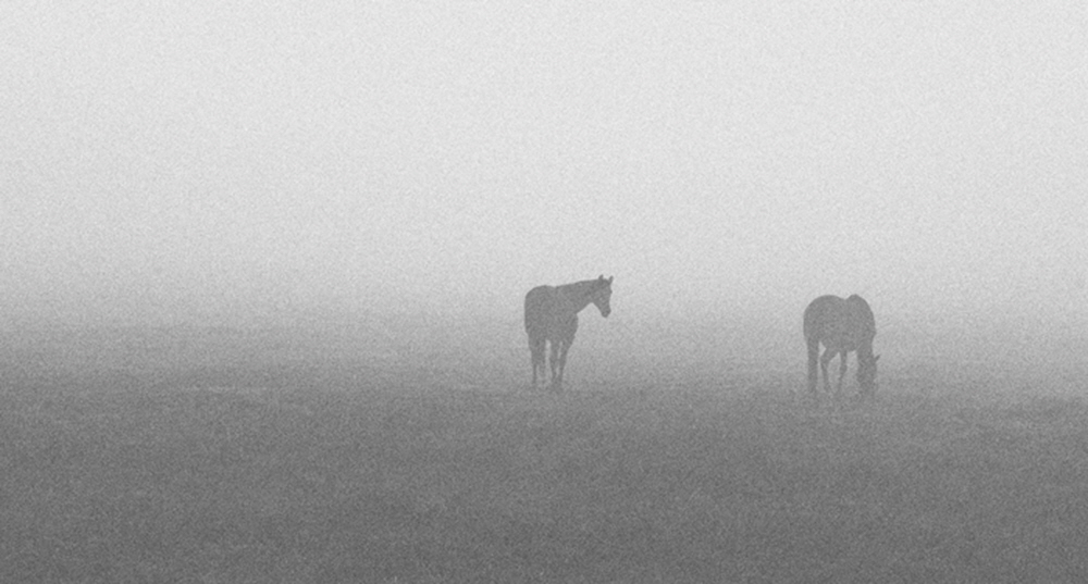 Acres of pasture land, watered by the Kings support a variety of agriculture and recreation. Acres of pasture land, watered by the Kings support a variety of agriculture and recreation.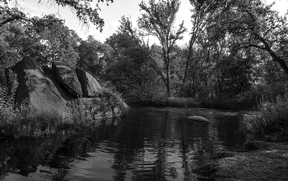 A small swimming hole with granite outcroppings, used first by Native Americans and then early settlers to the region. A small swimming hole with granite outcroppings, used first by Native Americans and then early settlers to the region.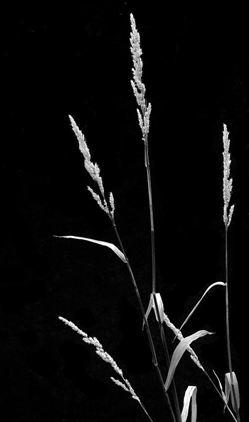 Delicate plant life thrives along the Kings creating beauty and challenges for management.. Delicate plant life thrives along the Kings creating beauty and challenges for management..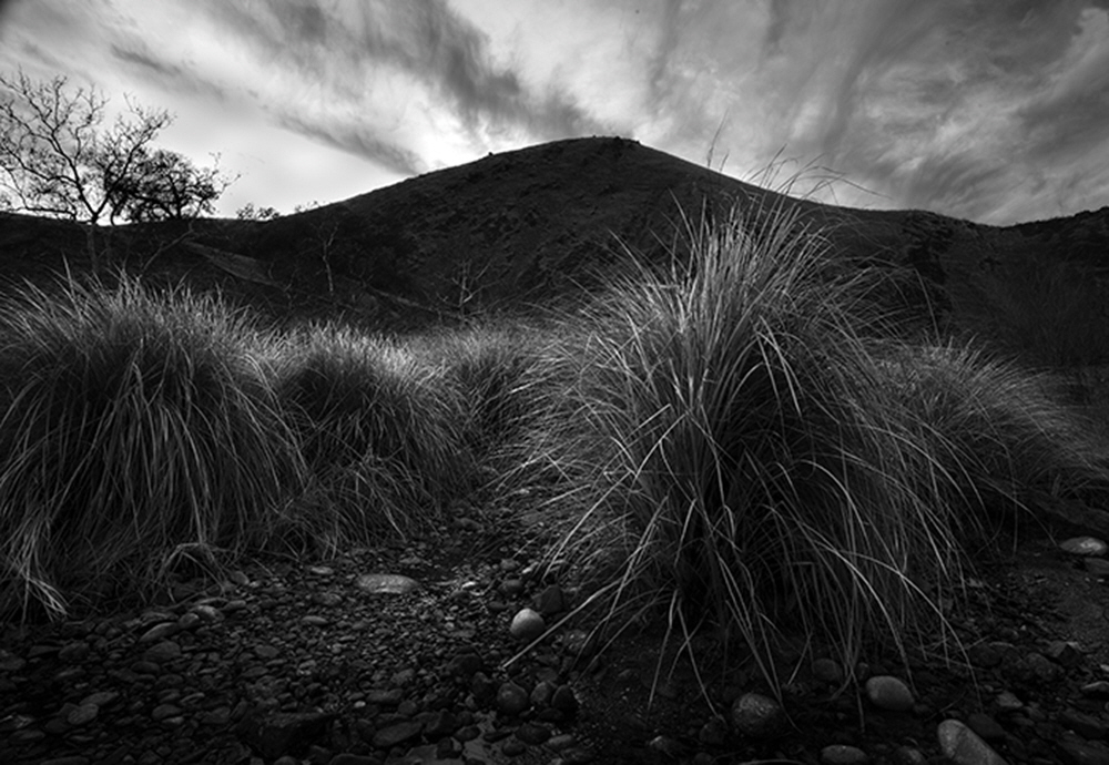 As the water recedes, reeds continue to grow, and even flourish before the spring high water covers them again. As the water recedes, reeds continue to grow, and even flourish before the spring high water covers them again.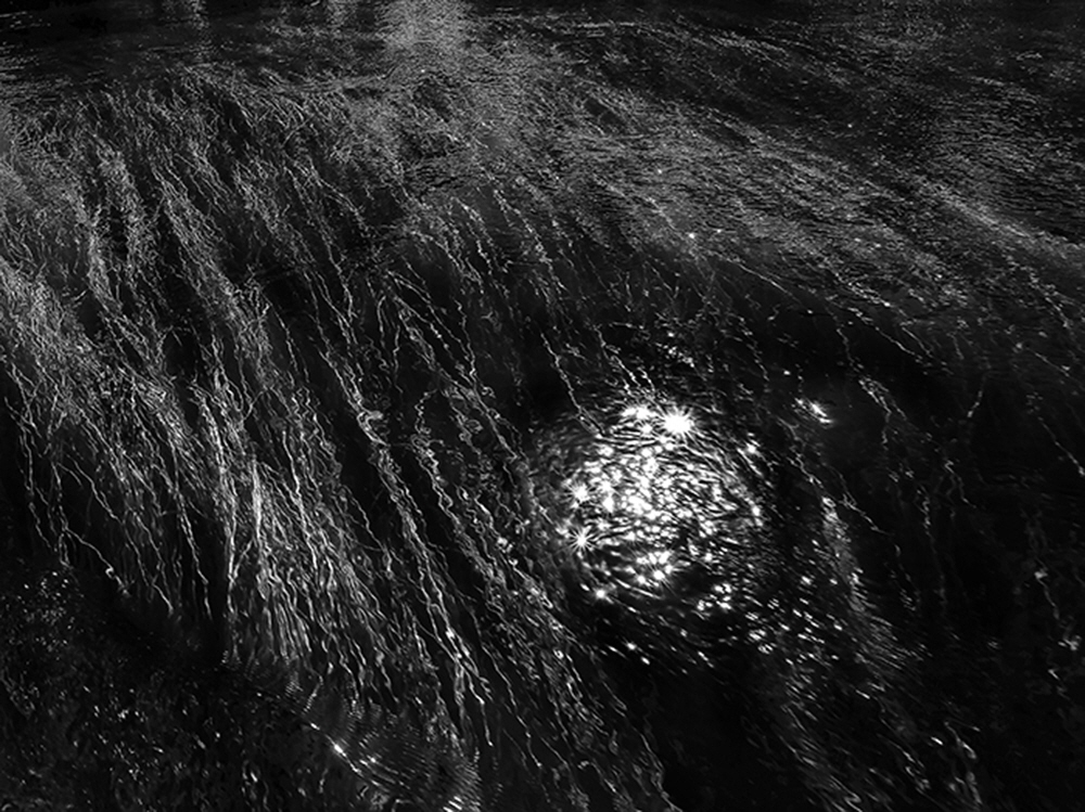 Indigenous grasses of the river grow unabated in wet years, literally clogging the Kings. Indigenous grasses of the river grow unabated in wet years, literally clogging the Kings.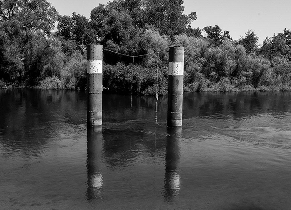 Remnants of the past, pilings from the old bridge at Reedley Beach destroyed during a flood, are now used only for recreation.
 A rushing Kings heads for the flat land, below Pine Flat, which regulates the flow for recreation and agriculture. A rushing Kings heads for the flat land, below Pine Flat, which regulates the flow for recreation and agriculture.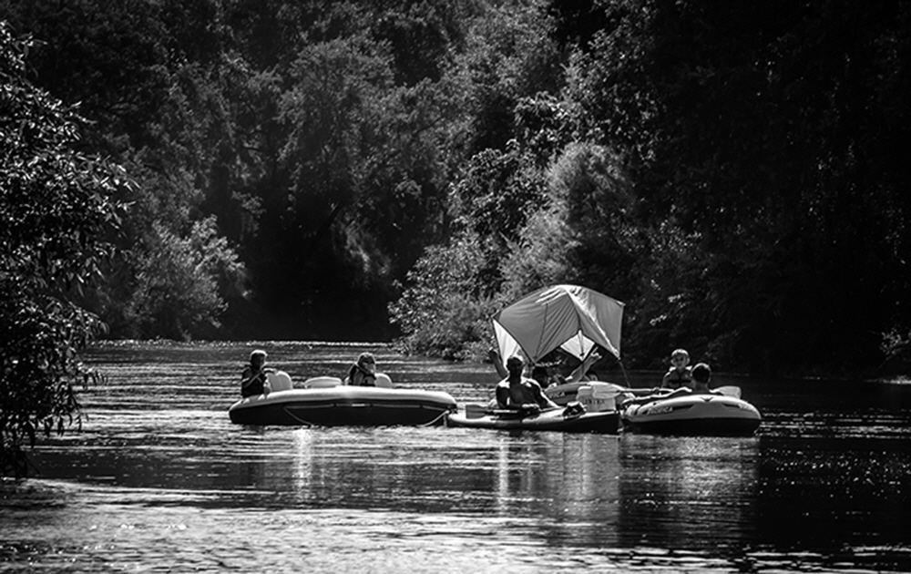 Through canyons of trees, riparian habitat, and steep bluffs, floaters make their way from Sanger to Reedley, Ca. via the gentle section of the Kings. Through canyons of trees, riparian habitat, and steep bluffs, floaters make their way from Sanger to Reedley, Ca. via the gentle section of the Kings.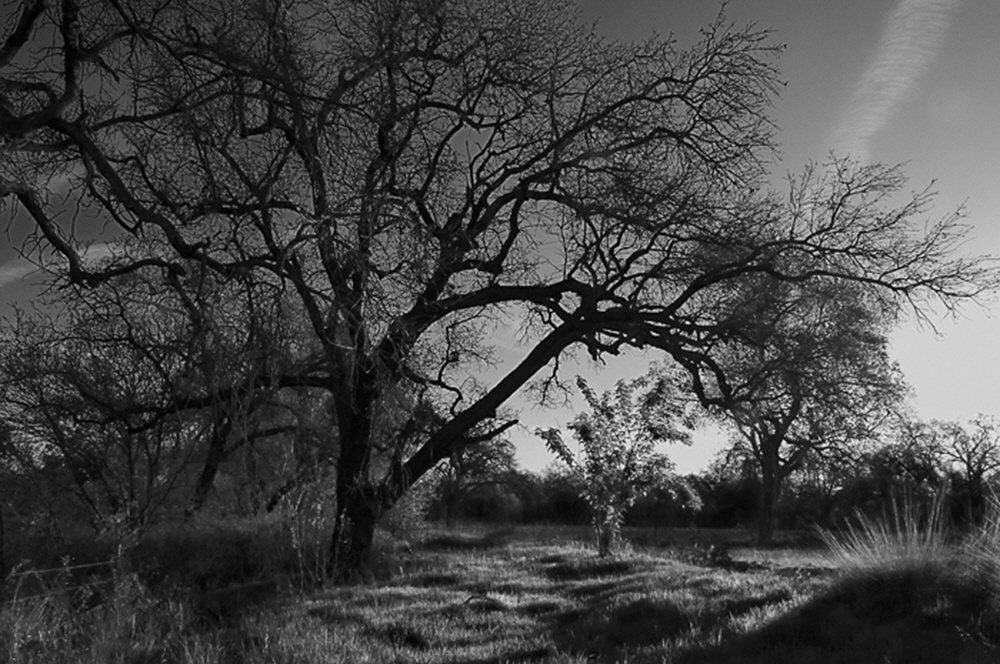 A majestic valley oak and a seedling grow side by side along the Sanger River Bottom. A majestic valley oak and a seedling grow side by side along the Sanger River Bottom.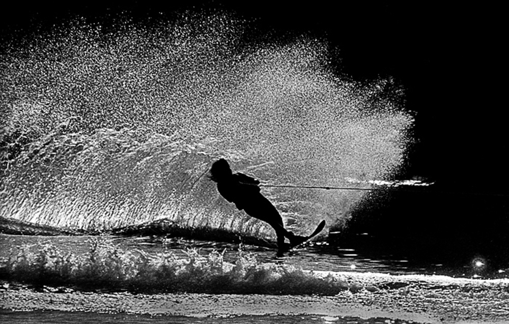 Along the river boating and water skiing are hugely popular in designated areas where the river is wide and calm. Along the river boating and water skiing are hugely popular in designated areas where the river is wide and calm. A sewage spill from a nearby water treatment plant createshealth hazard for boaters and a closure of parts of the Kings for several days. A sewage spill from a nearby water treatment plant createshealth hazard for boaters and a closure of parts of the Kings for several days.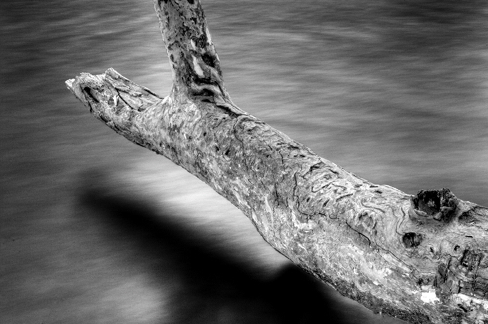 In the Finger Channels are below Pine Flat Dam, a fallen Sycamore stuff extends invitingly over fast rushing water. In the Finger Channels are below Pine Flat Dam, a fallen Sycamore stuff extends invitingly over fast rushing water.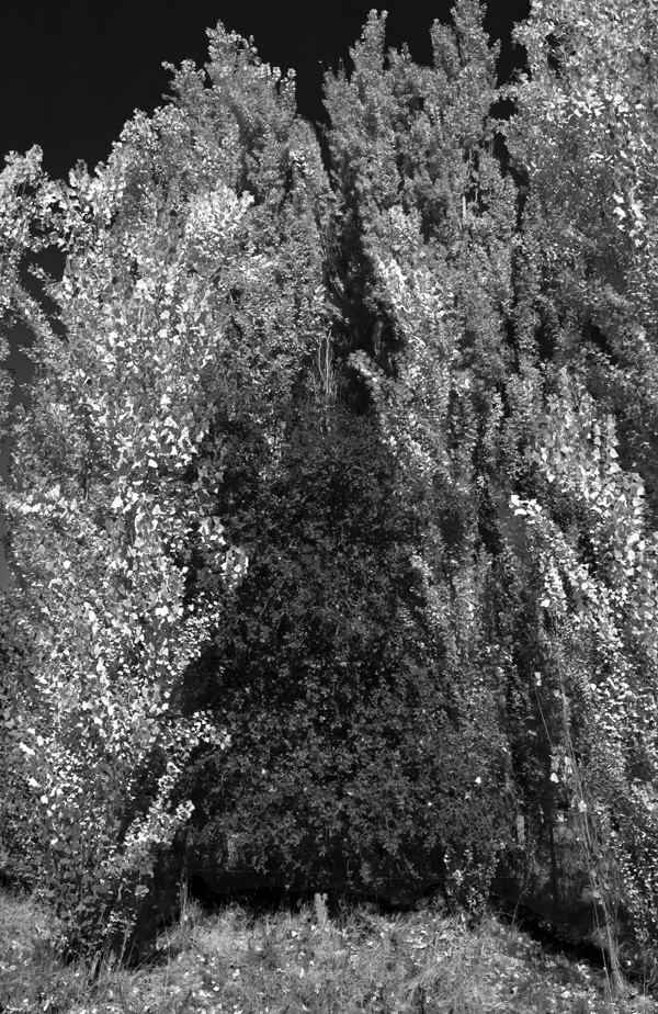 Trees are prolific along most of the Kings, even creating competition for survival. Trees are prolific along most of the Kings, even creating competition for survival.  Antone and Sierra, a homeless couple living near a slough of the Kings, just south of Lemore Naval Air Station. Antone and Sierra, a homeless couple living near a slough of the Kings, just south of Lemore Naval Air Station.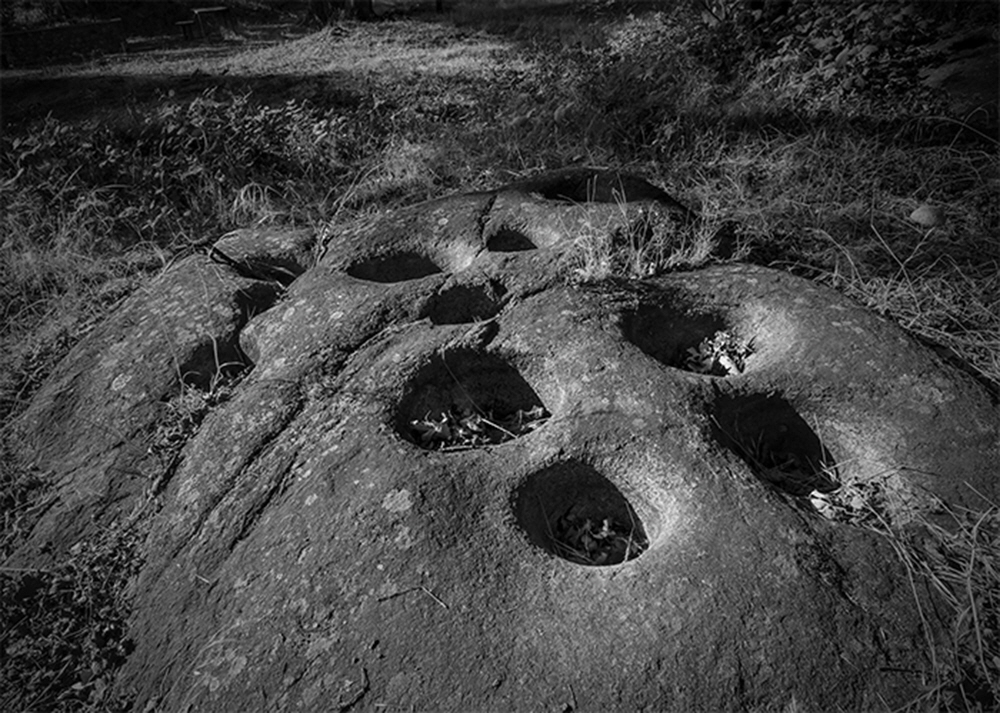 Evidence of early Indian culture all along the Kings are evidenced by thousands of pocked grinding rocks. Evidence of early Indian culture all along the Kings are evidenced by thousands of pocked grinding rocks.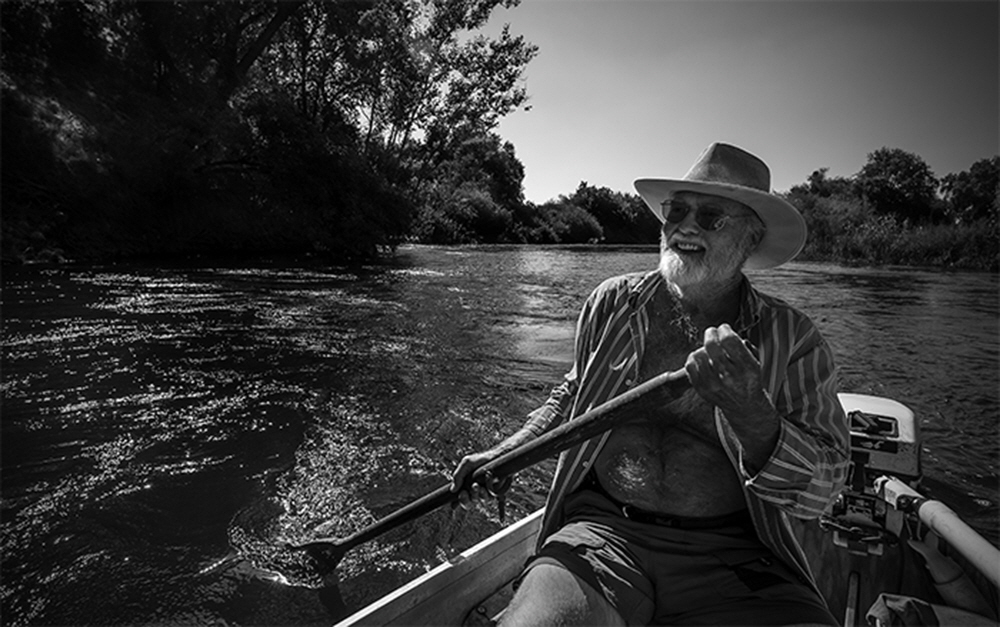 Kings River Activist Fred Smeads, who was born on the river paddles down a portion of the river than runs directly in front of his home. Kings River Activist Fred Smeads, who was born on the river paddles down a portion of the river than runs directly in front of his home. On any holiday weekend in the summer officials estimate there are over 10,000 people on the Kings On any holiday weekend in the summer officials estimate there are over 10,000 people on the Kings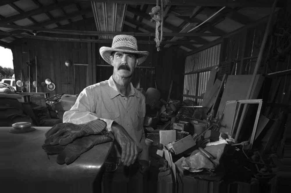 Farming sixty acres of river bottom land, this 3rd generation farmer, now leases the family ranch and works for a school district. Farming sixty acres of river bottom land, this 3rd generation farmer, now leases the family ranch and works for a school district.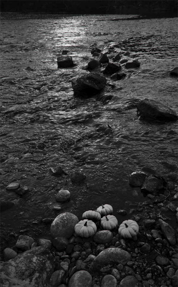 An offering of small pumpkins, left by a Southeast Asian family as an offering for a relative is common along certain portions of the Kings. An offering of small pumpkins, left by a Southeast Asian family as an offering for a relative is common along certain portions of the Kings.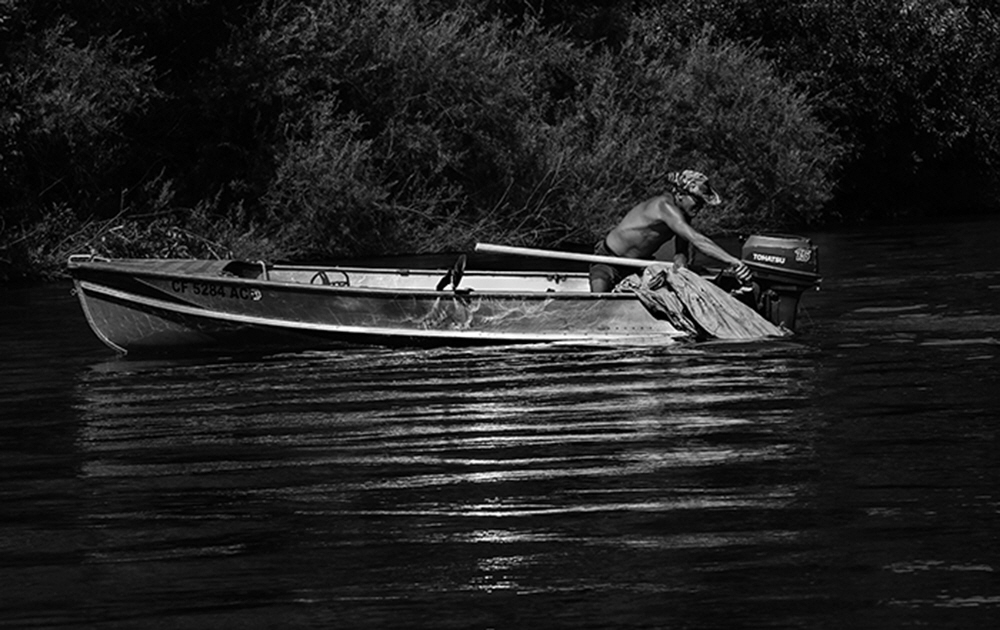 Those who live on the Kings, find it necessary to constantly clean up, what others have left behind like punctured inflatable rafts Those who live on the Kings, find it necessary to constantly clean up, what others have left behind like punctured inflatable rafts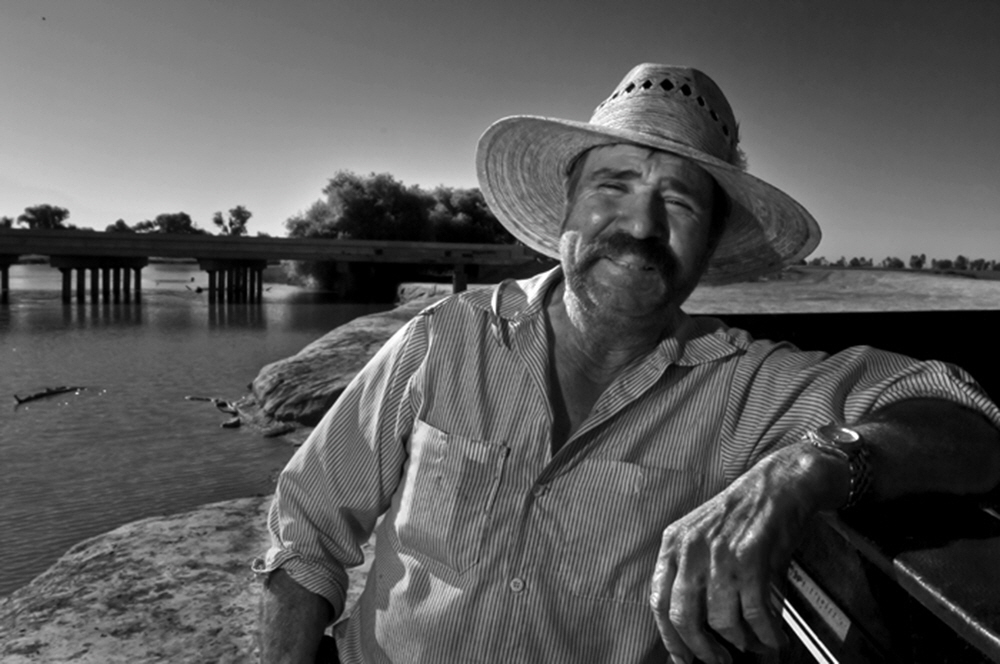 Jesus Garcia routinely fishes the control gates at the natural rivers end in Stratford, Ca. Jesus Garcia routinely fishes the control gates at the natural rivers end in Stratford, Ca.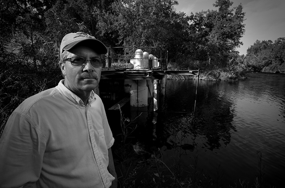 Illustrating the Kings mechanization, Professor Kent Kinney stands near huge siphon pumps that once transferred water beneath the river. Illustrating the Kings mechanization, Professor Kent Kinney stands near huge siphon pumps that once transferred water beneath the river.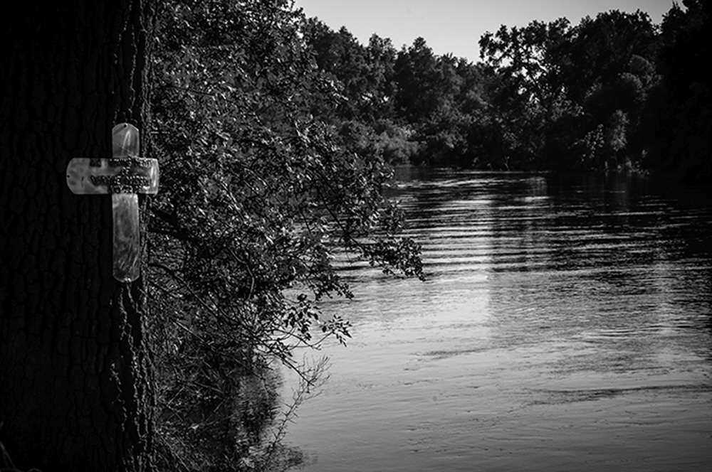 A memorial cross nailed to a tree, marks the spot where Wayne Morgan jumped into the river, broke his neck and died. A memorial cross nailed to a tree, marks the spot where Wayne Morgan jumped into the river, broke his neck and died. Just steps from the Kings, the library at Piedra, serves as the social center for this small, river community. Just steps from the Kings, the library at Piedra, serves as the social center for this small, river community. Gabriel Moore's grave reads, "born a slave, died a freeman, drowned in the Kings 1870". Gabriel Moore's grave reads, "born a slave, died a freeman, drowned in the Kings 1870". Long abandoned and sitting in a pasture, vintage 1930s trucks sit, decaying in the winter fog. Long abandoned and sitting in a pasture, vintage 1930s trucks sit, decaying in the winter fog.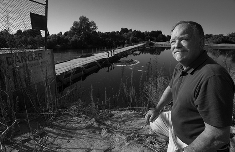 River activist and historian Randy MacFarland near the People's Weir, built in 1918, are the largest diversion gates on the Kings, near Kingsburg, Ca. River activist and historian Randy MacFarland near the People's Weir, built in 1918, are the largest diversion gates on the Kings, near Kingsburg, Ca. 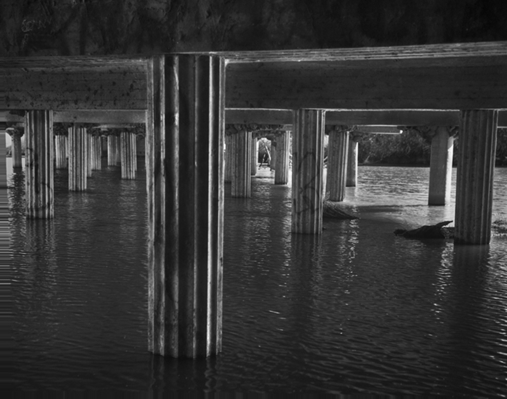 Ornate pilings beneath the Highway 41 Bridge at the natural rivers end, shows the attention to detail of a bygone era. Ornate pilings beneath the Highway 41 Bridge at the natural rivers end, shows the attention to detail of a bygone era.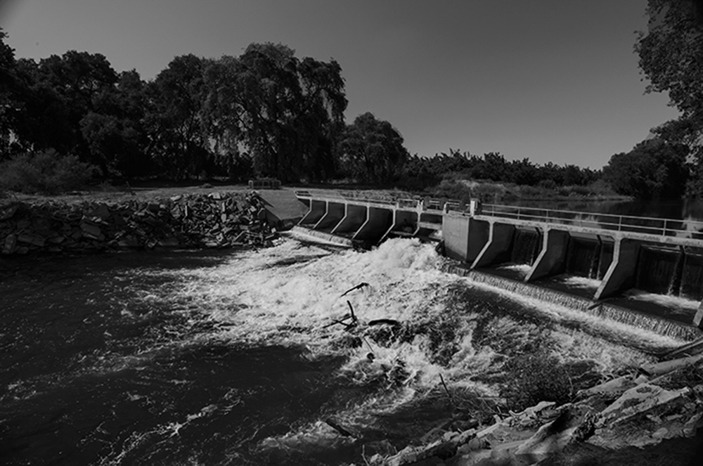 All along the lower Kings, control gates like these All along the lower Kings, control gates like these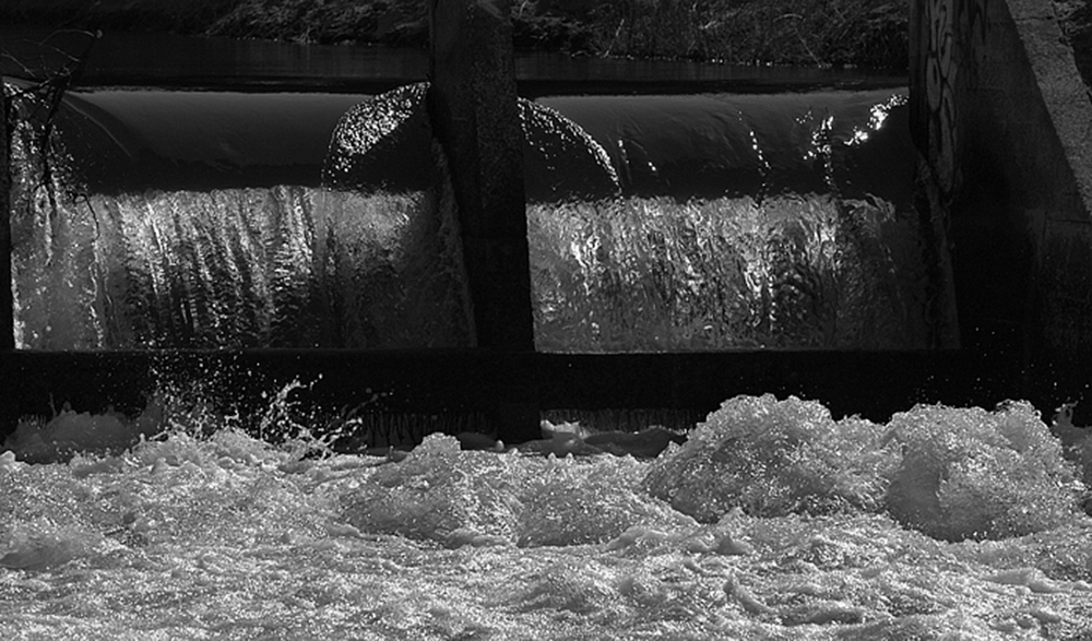 Through hundreds of miles of canals, there are many 'drops' that help reulate the water as it heads towards the fields. Through hundreds of miles of canals, there are many 'drops' that help reulate the water as it heads towards the fields.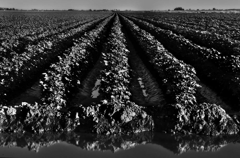 Along the south section of the Kings hundreds of thousands of acres of agriculture depend on its waters Along the south section of the Kings hundreds of thousands of acres of agriculture depend on its waters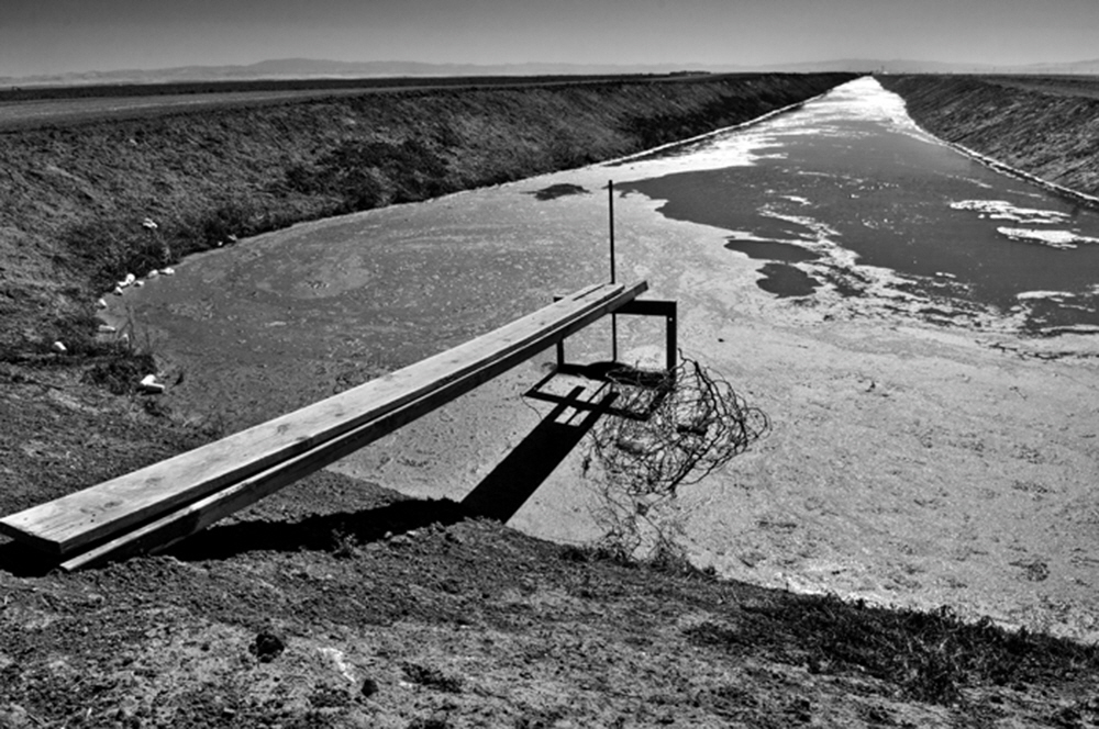 Under an unrelenting summer sun, miles of irrigation canals stretch out over the Central Valley bringing the water of the Kings to thousands of acres. Under an unrelenting summer sun, miles of irrigation canals stretch out over the Central Valley bringing the water of the Kings to thousands of acres.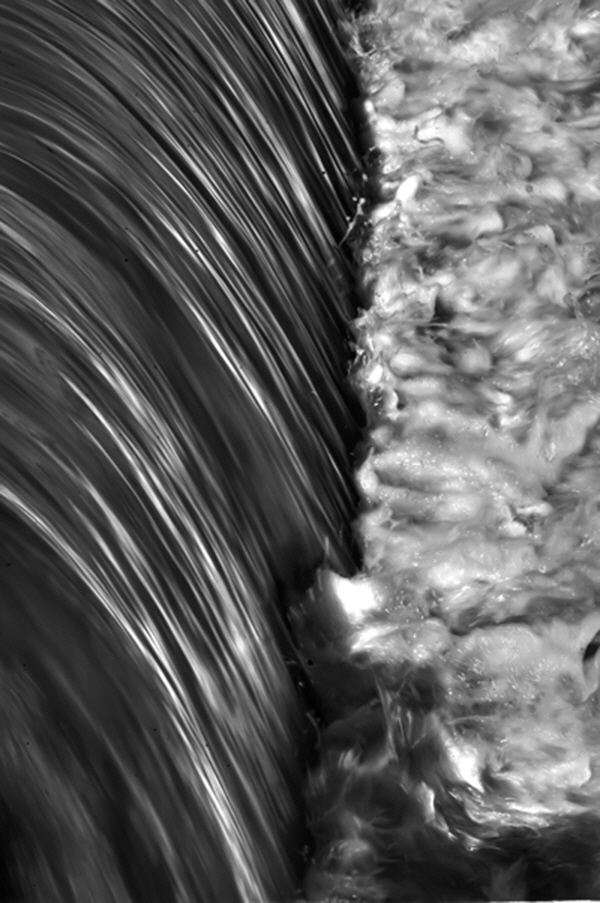 Last drop of the River before it is all channeled into agricultural canals Last drop of the River before it is all channeled into agricultural canals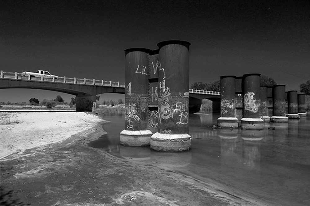 Over the lower Kings near Hanford Ca., the pilings of the old and the new bridge of the Kings River show the power of water. Over the lower Kings near Hanford Ca., the pilings of the old and the new bridge of the Kings River show the power of water.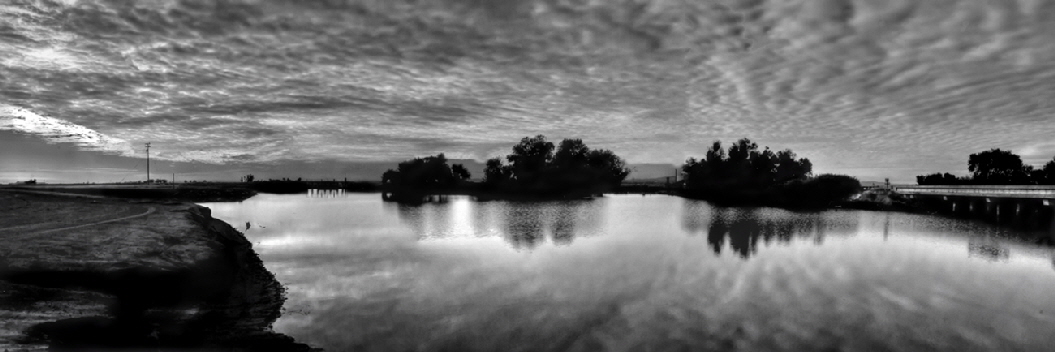 At the control gates near Stratford, Calif. the natural river ends as the Kings now flows completely through irrigation canals towards At the control gates near Stratford, Calif. the natural river ends as the Kings now flows completely through irrigation canals towards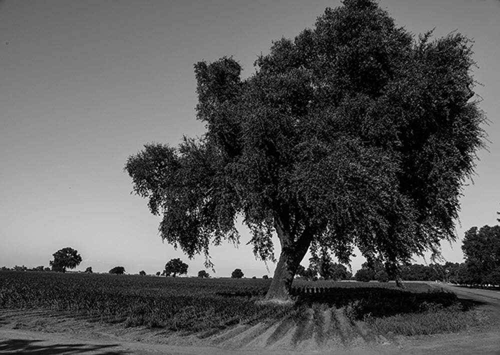 Remnants of what the valley looked like before mechanization, savanah oaks dotted the landscape. Many today have been saved. Remnants of what the valley looked like before mechanization, savanah oaks dotted the landscape. Many today have been saved. The Valley's massive west side is a desert without the irriagation water provided by the Kings and other sources. The Valley's massive west side is a desert without the irriagation water provided by the Kings and other sources.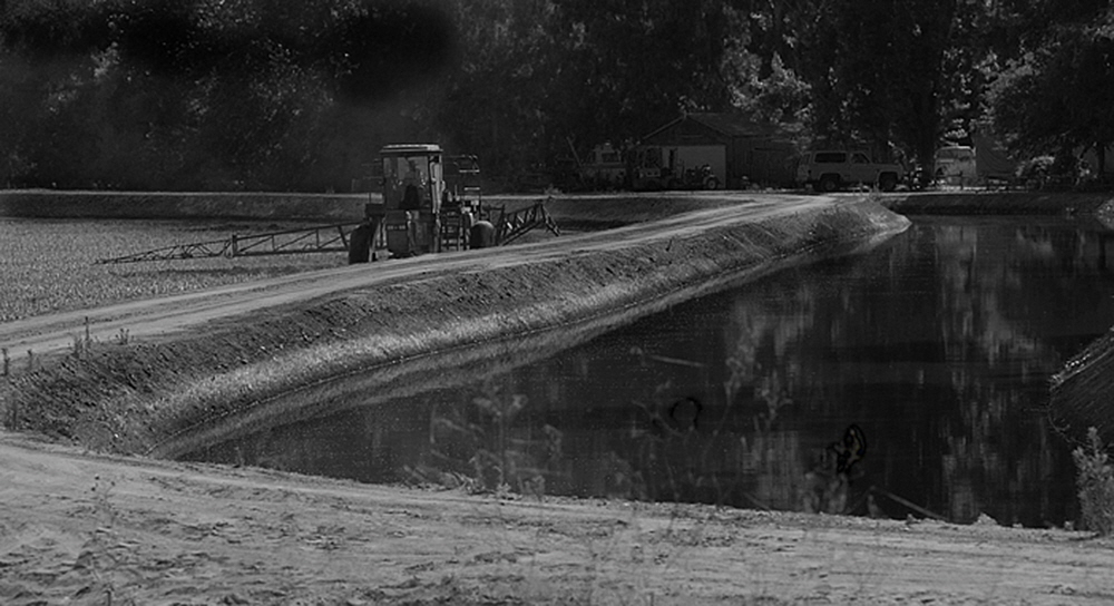 Near Armona, Calif. farmers work the land next to dozens of canals carving out thier farmland by the use of levees. Near Armona, Calif. farmers work the land next to dozens of canals carving out thier farmland by the use of levees.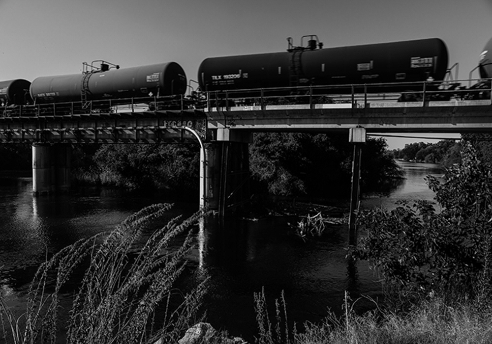 Mixing beauty with mechanization, the Kings is contrast in functionality, recreation and necessity. Mixing beauty with mechanization, the Kings is contrast in functionality, recreation and necessity.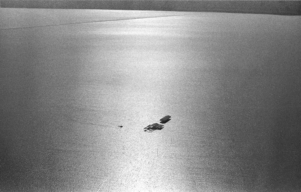 An aerial view of the huge Tulare Lake during a wet year. Bordered by miles of levees the water is used for agriculture and resupplying the underground aquifer. An aerial view of the huge Tulare Lake during a wet year. Bordered by miles of levees the water is used for agriculture and resupplying the underground aquifer.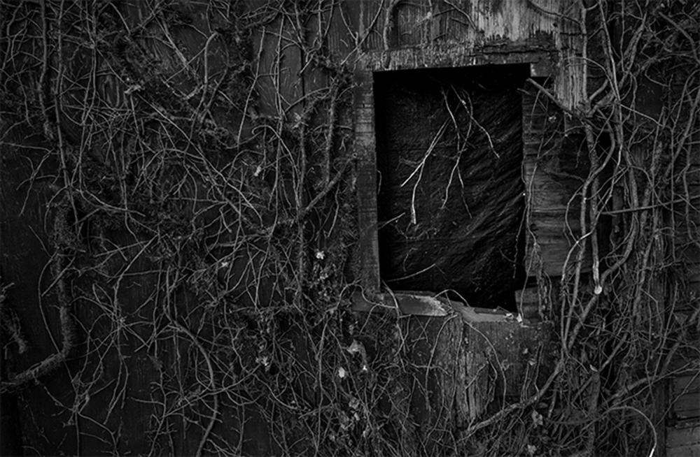 Like all things along the river, the vegetation reclaims everything, including an abandoned building and seasonal vines that climb its walls. Like all things along the river, the vegetation reclaims everything, including an abandoned building and seasonal vines that climb its walls.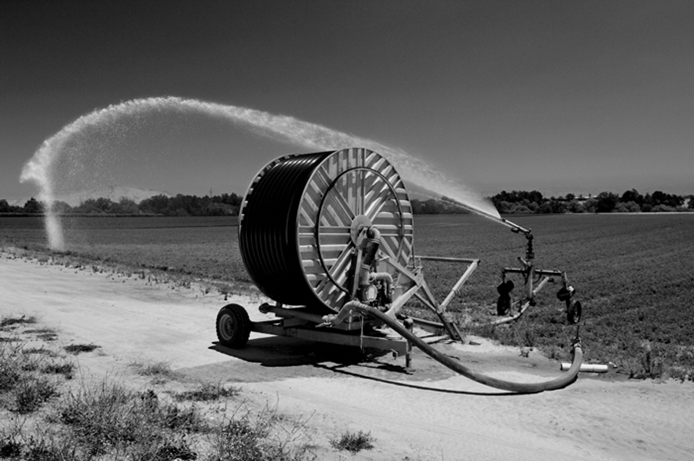 Many methods of irrigation are used along the Kings to preserve water, like this water canon near Reedley, Calif. Many methods of irrigation are used along the Kings to preserve water, like this water canon near Reedley, Calif.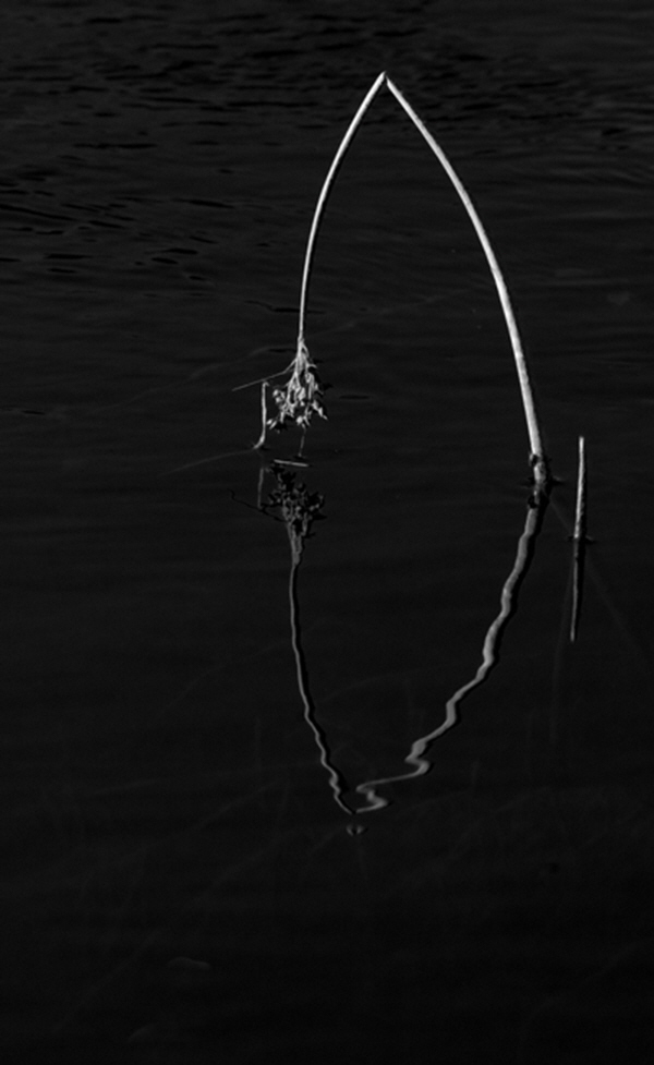 A single reed bends in death, surrounded by the slow moving waters of the Kings. A single reed bends in death, surrounded by the slow moving waters of the Kings.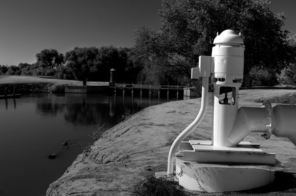 As the river turns into canals, pumps appear all along the canals to propel the water into the fields. As the river turns into canals, pumps appear all along the canals to propel the water into the fields.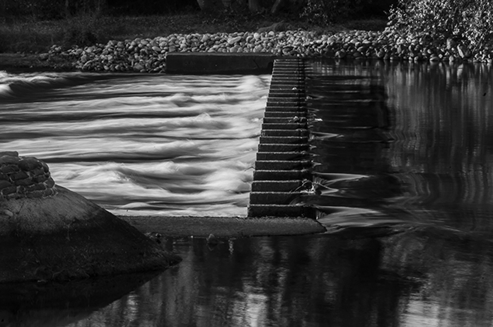 Up and down the Kings, weirs are used to regulate the flow and volume of the river. Just below Pine Flat Dam is the Cobble Weir, one of the oldest on teh river. Up and down the Kings, weirs are used to regulate the flow and volume of the river. Just below Pine Flat Dam is the Cobble Weir, one of the oldest on teh river.
|
|
|
|
This ongoing project's purpose is to document the Kings River in Central California showing not only the beauty and elegance of the riparian environment, but also illustrate man's influence upon it.
Being described as “California’s truly pristine river", the 125 mile long Kings, with its three separate geographic divisions, watershed, recreation and agriculture, have separate cultures that engage and utilize the river in unique ways. Though changed in many ways over the years, the private ownership of most of its shore has preserved the river in a unique way.
From its beginnings among the massive granite cliffs of Kings Canyon National Park to the endless canals of California's west side, the river is a life line for this midsection of California.
This is a documentary archive of what and who exists along the river today, and how this environment is changing.
If you have questions, want to contribute or be part of this project please contact - info@thomhalls.com
|
|
|